Our Seven Lookouts
We manage and maintain four fire lookouts in the national forest.
Scroll below to explore all seven lookout locations and get directions.
- Black Mountain
- Butler Peak
- Keller Peak
- Morton Peak
- Red Mountain
- Strawberry Peak
- Tahquitz Peak
For more information, View the Fire Lookout Brochure (PDF)
Black Mountain
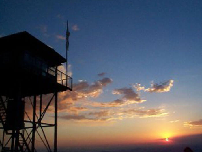
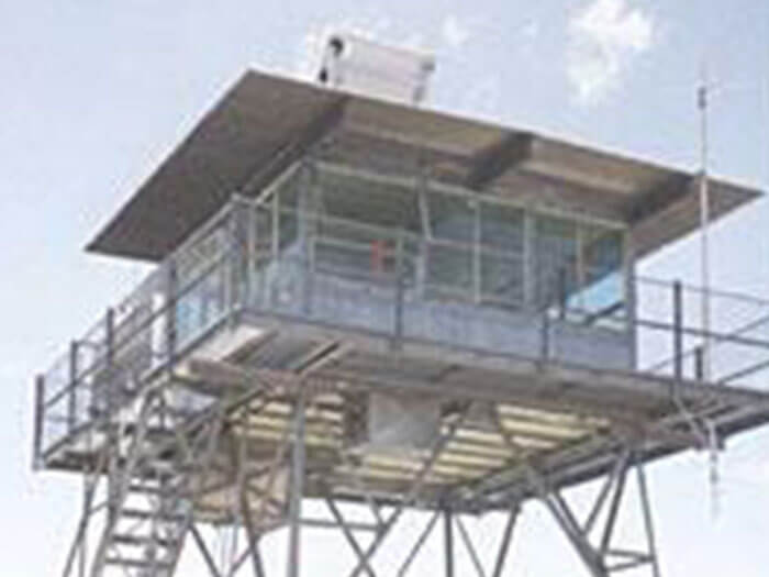
Black Mountain Fire Lookout (elev. 7,772 ft.) is located in the San Jacinto Mountains. Built in 1926, Black Mountain was the third lookout built on the San Bernardino National Forest. In 1935 the original lookout was disassembled and rebuilt on Barton Peak. The lookout that sits on Black Mountain today was completed in 1962.
This tower is staffed between 9:00 am and 5:00 pm during fire season, and open to visitors during these hours from Memorial Day until closure.
Black Mountain Lookout is open for the 2024 season.
Directions:
Take Highway 243 north out our Idyllwild for 8.1 miles to the turn-off of Black Mountain Road (Forest Road 4S01). This dirt road climbs through a forest of oak and pine. After the Boulder Basin Campground, make a sharp left turn and drive a half-mile to the end of the road (5.8 miles from the highway). Walk the last quarter-mile and then take the paved walkway to the lookout.
Butler Peak
Butler Peak Fire Lookout (elev. 8,535 ft.) is located in the San Bernardino Mountains between the towns of Green Valley Lake and Fawnskin. Butler Peak was named after George E. Butler, a local politician and Bear Valley property owner. In 1970 lookout staff member Eileen McMahon spotted the devastating Bear Fire that destroyed 49 homes and burned 53,000 acres from a point just south of Big Bear Dam to the San Bernardino Valley.
This tower is open to visitors from Memorial Day to November, but it is located at a higher elevation and the dirt access road and trail have been known to have up to five feet of snow as late as July 4.
The Butler Peak Lookout is closed for the 2024 season due to road access issues.
Directions:
On the North Shore of Big Bear Lake, take Highway 38 to Fawnskin. Watch for signs for Forest Road 3N14. Follow 3N14 (it will change from paved to dirt) to a junction with Forest Road 2N13. Turn left on 2N13 and follow until junction with Forest Road 2N13C. This last road takes you to Butler Peak. High clearance vehicles are recommended.
Keller Peak
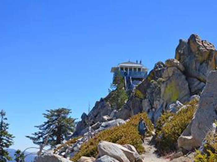
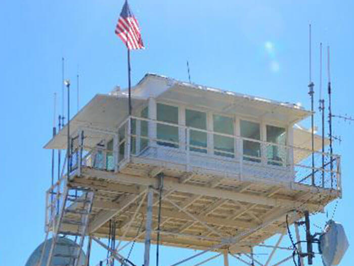
Keller Peak, though not the first lookout built in the San Bernardino National Forest, is the oldest remaining original tower. It is located three miles east of Running Springs at an elevation of 7,882 feet. The lookout, road, and peak are named for Ally Carlin Keller, born in San Bernardino in 1868, who at one time was an employee of the Forest Service.
You can view two memorial plaques at Keller Peak lookout. The first designates the 1926-built tower as a historic landmark. The second, located 200 yards (175 m) to the west, marks the spot where a B-26 bomber crashed on December 30, 1941. Some of the wreckage is still visible.
Keller Peak was destroyed September 2024 by the Line Fire.
Directions:
Take Highways 18 or 330 to Running Springs. Go past the village and immediately after Deerlick Fire Station turn right on Keller Peak Road (1N96). This 5-mile road is paved all the way to the lookout. At a fork in the road, turn right and drive to the lookout.
Morton Peak
Morton Peak Lookout is located off Hwy 38, overlooking the cities of Yucaipa and Mentone (elevation 4624 feet) with spectacular views of Mill Creek leading up to Forest Falls as well as surrounding views of Palomar Mountain, Keller Meadows, Keller Cliffs, and the San Bernardino Valley. Originally built in 1934, the lookout was destroyed by the Morton fire of 1959.
Staffing the lookout that day was Aleta Johnson who was airlifted to safety before the tower went up in flames. The tower was rebuilt in 1961 and closed in the 1970s. In 2001 the lookout tower was refurbished and weather permitting is staffed year-round.
Morton Peak is currently closed due to the Line Fire.
Directions:
From Redlands/Mentone, take Hwy 38 toward Forest Falls – Big Bear. Approximately 1.5 miles past the Mill Creek Ranger Station and across from the Vista Point parking area turn left and goes up dirt road 1N12. High-clearance vehicles are recommended! Go approximately 1.5 miles to the gate (on left). Morton is located about another 1.5 miles past the gate on the top of the peak.
Red Mountain
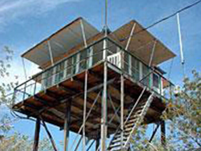
Red Mountain (elev. 4,573ft) is located in the southern part of the San Bernardino National Forest southeast of Hemet. Red Mountain, named for the distinctive red granite on its peak, overlooks parts of the town of Anza, the Cahuilla Indian Reservation, Reed Valley, Bautista Canyon, and has a great view of the new Diamond Valley Reservoir. This is the youngest lookout on the San Bernardino National Forest, originally constructed in 1937 by the Civilian Conservation Corps and re-opened in 1999.
Red Mountain was destroyed September 2022 by the Fairview Fire.
Directions:
Take Highway 243 south from Idyllwild, and continue on Highway 74 (toward Palm Desert). Turn on Highway 371 toward Anza. Turn right onto Cary Road, go 5 miles, turn left on the dirt road toward Tripp Flats Fire Station, and follow Forest Road 6S22 for 9 more miles to the lookout.
From the Temecula area, heading south on US 15, get off the freeway at Hwy 79. Go east on Hwy 79 to Hwy 371. Take Hwy 371 northeast toward Anza. Before reaching Anza and immediately after passing the Cahuilla Creek Indian Reservation Casino, turn left onto Cary Road, go 5 miles, turn left on the dirt road toward Tripp Flats Fire Station, and follow Forest Road 6S22 for 9 more miles to the lookout.
Strawberry Peak
Strawberry Peak Fire Lookout is located off Highway 18 in the San Bernardino Mountains near the communities of Twin Peaks and Rim Forest (elev. 6,135 ft.). It gets its name from a strawberry farm owned by Bart Smithson from the 1870s-80s. The 30-foot tower you see today was built in 1934 and is the second tower to be built there.
The first, constructed in 1922, was 80 feet tall and made of railings donated by the Atchison Topeka and Santa Fe Railway. It was eventually damaged by lightning and heavy snow in 1934.
Strawberry Peak is currently closed to the public due to the Line Fire.
Directions:
Take Highway 18 to Rim Forest (west of Skyforest). Turn north onto Bear Springs Road toward Twin Peaks. Follow the lookout signs. The lookout is 2 miles up the paved road.
Tahquitz Peak
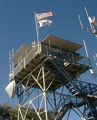
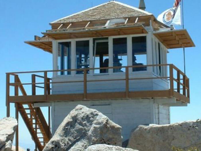
Tahquitz Peak was a working fire lookout until the end of the 1993 fire season and reopened in October 1998 staffed by volunteers. At its elevation of 8,828 feet, it is the highest lookout in the San Bernardino National Forest.
It is also the forest’s longest continuously operated station, serving some 77 years, and is the only lookout located inside a Wilderness area. Tahquitz was actually built entirely by hand as all power tools are prohibited in the San Jacinto Wilderness.
Tahquitz Peak is open for the 2024 season.
Directions:
Access the lookout by either Devil’s Slide or South Ridge trails. Both require Wilderness permits and Adventure Passes. The route is a 4.5-mile hike.

