Explore Our Trails
Big Bear has more than 70 miles of non-motorized trails for all hikers to explore and enjoy. You can help keep the trails open and safe by reporting trail conditions. We also invite you to check-out our future plans and efforts for trail expansion and we welcome your ideas and feedback.
Many Trails to Explore
Trail Etiquette
Share the Trails
The paved trails are multi-use trails to be enjoyed by ALL types of users – bicyclists, dog walkers, skateboarders, joggers, etc. Regardless of age, mode, or even species, everyone is here to enjoy the trail!
- Be aware, be courteous, smile!
- All users yield to equestrians, with cyclists also yielding to hikers.
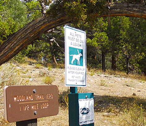
- Keep dogs on a leash, it the law.
- Let others know when you are passing.
- Allow faster trail users to pass.
- Ride at a safe speed for ALL trail users.
Care for our Trails
Trails are a tremendous community asset and we want to be sure they are maintained for everyone’s enjoyment and safety.
- Keep it clean – use a trash/recycling can or pack it out.
- Stay on designated trails to protect our fragile mountain environment.
- Clean up after your pet. There is no poop fairy but there ARE plenty of pet waste stations and trash cans along the way!
- Respect the neighboring plants and animals.
- Avoid impacting dirt trails after rain or snow.
For Your Safety
Notify someone of your planned route and estimated time of return. Outdoor activities can be dangerous; use caution at all times and be prepared with water, food, and adequate equipment and knowledge. The Mountains Foundation provides this description as a courtesy and does not guarantee the accuracy of the information. You accept all responsibility for your outdoor activities.
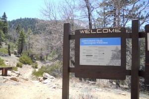
Aspen Grove
- Trail Name:
- Aspen Grove
- Forest Service Designation:
- 2E05
- Total Distance:
- 1.85 miles one way
- Overview:
- Trail that takes you to a grove of Aspen Trees.
- Difficulty:
- Easy to Moderate.
- Activities:
- Hiking and Horses. Bikes are not permitted in Wilderness Areas.
- Trail Type:
- 100% singletrack.
- Description:
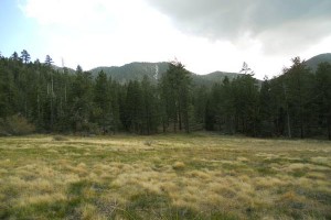
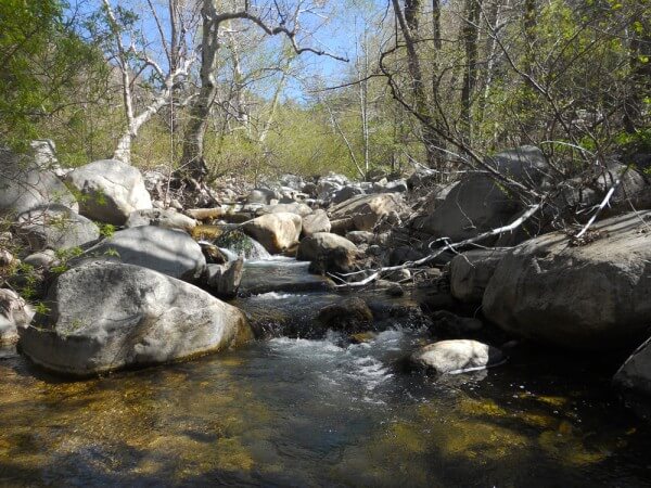
- A trail that takes you across Fish Creek and into a quiet and serene grove of Aspen Trees. Found in only one other area of California outside of the Sierra Nevada, these trees are gorgeous in the summer and breathtaking in the fall. While the Aspen Grove itself is only 1/4 mile of the way into the trail and is itself awfully beautiful, the real icing is 1.8 miles up the trail. Here a large, grassy meadow appears on the left and is a perfect spot for a picnic lunch and a peaceful afternoon. Push just a bit past the meadow and you’ve reached the end of the trail and the entire Aspen Grove Trail is officially under your belt. Now it’s time to turn around and head back down. One of the great things about this trail is that you follow Fish Creek the entire way; you cross it several times and hear it bouncing down the valley right next to you the entire time. This is a wilderness area, and you will need a free permit.
- Possible Loops / Variations:
- Consider making a loop by hiking all the way out to the Fish Creek Parking Area and then walking back on the Forest Road 1N05. If you do this loop you can also hop on a section of the Pacific Crest Trail and bypass part of the dirt road.
- Trailhead and Parking:
- Park at the Aspen Grove Parking Area a little ways up Forest Road 1N05. If you have a low slung automobile consider parking at a pullout and hiking the 3/4 of a mile up to the trailhead. Another option is to hike west a short bit on the Santa Ana River Trail (2E03) and keep your eye out for a left spur marked with a trail sign for Aspen Grove.

Camp Creek Trail
Trail Name:
Camp Creek Trail
Forest Service Designation:
2N97
Total Distance:
6 miles round trip
Overview:
Steep and scenic trail that takes you down to flowing Bear Creek.
Difficulty:
Moderate to Strenuous.
Activities:
Hiking, Horses, and Bikes
Trail Type:
100% singletrack.
Description:
The Camp Creek trail starts at Forest Road 2N97 directly off of State Highway 18 mile marker 18 SBD 38.00. The Trail starts as a dirt road descending gradually uphill for about .25 mile to the camp creek trailhead. High Clearance vehicles can drive all the way to the trailhead. The trail then becomes a single track over relatively flat terrain for the first half mile through a beautiful grove of young Sequoia trees, White Fir, Sugar and Jeffery pines. From there trail starts to steeply descend into a sunny and exposed canyon offering spectacular views of Snow Valley to the West and the San Bernadino peaks to the southeast. Continue descending amongst coulter pines and canyon live oak until reaching a resting point overlooking Bear Creek. Here the trail becomes rough to travel on as vegetation tends to overgrow on the trail. After your first view of Bear Creek the trail then clears up as you hike down through incense cedar and douglas firs to Siberia Creek where you find alder trees and a few box elders. Anglers, bring a fishing rod as the creek offers good fishing opportunities. After spending an hour or two by the creek begin the steep ascent back up 2,300 feet to Snow Valley.
Possible Loops / Variations:
The Camp Creek trail leads you to a group campsite just on the opposite side of Siberia creek. From there you can continue along an unmaintained trail to Forest Road 1N64. You can also continue up Siberia Creek Trail and end up close to the Champion Lodgepole Pine.
Trailhead and Parking: An entrance gate is located at mile marker 38.00. Park in the dirt space by two picnic tables. Display a forest adventure pass on the dash of your vehicle.
Castle Rock Trail
Trail Name:
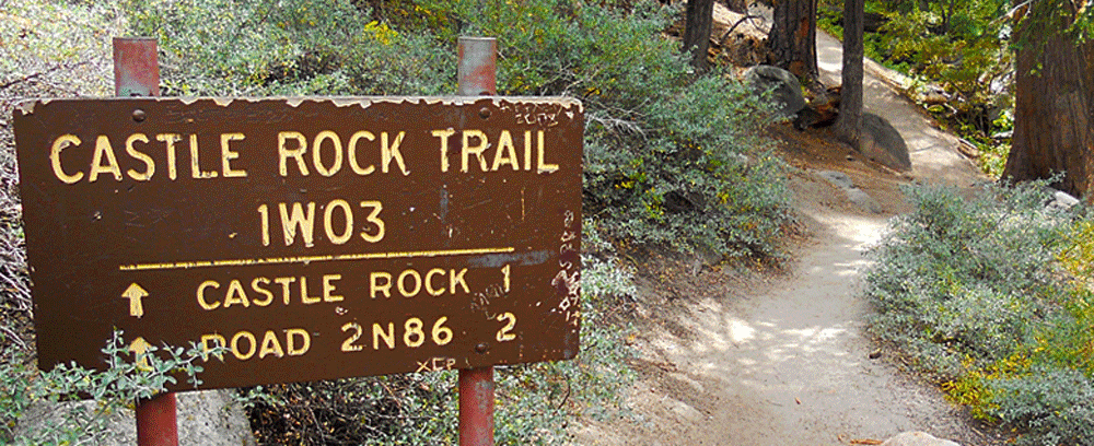
Castle Rock
Forest Service Designation:
1W03
Total Distance:
1.3 miles
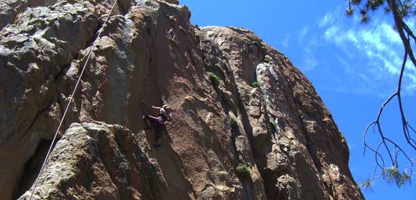
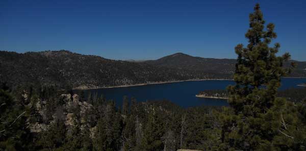
Overview: short steep hike up to a beautiful rocky crag with great views of Big Bear Lake.
Difficulty:
Moderate to Advanced.
Activities:
Hiking. Horses and Bikes are possible, but difficult because of the steep and rocky terrain.
Trail Type:
100% Singletrack
Description:
Possible Loops / Variations:
start at the north trailhead and hike to Castle Rock, then continue south and visit the Champion Lodgepole Pine.
Trailhead and Parking:
There are two trailheads; north and south. The north trailhead is located directly off Hwy 18, 1.25 miles east of the Big Bear Dam. Look for a small parking area on the north side of the road. The trailhead is on the south side of the road heading up the steep canyon. The south trailhead is located directly off Forest Service Road 2N10; start on Mill Creek Road, directly across from Bear Valley Bikes on Hwy 18, and follow this into the mountains 4.25 miles. Be sure to turn left onto 2N10 (don’t go to Cedar Lake).
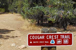

Cougar Crest
Trail Name:
Cougar Crest
Forest Service Designation:
1E22
Total Distance:
2.3 miles one way
Overview: Popular trail with views of Big Bear Lake.
Difficulty:
Easy to moderate.
Activities: Hiking, biking. Please avoid conflict and don’t bike this during high use times.
Trail Type:
100% singletrack.
Description:
This popular trail is a “must-do” in all four seasons and a fantastic wilderness excursion right off the highway. You’ll walk through stands of large Ponderosa Pines and ancient towering Juniper Trees as the trail heads into the mountains, and then opens up with expansive views of Big Bear Lake. At the top, you’ll hit the Pacific Crest Trail, where you can look either direction and see Mexico or Canada. Take a break and head back down.
Possible Loops / Variations:
Once at the top, hit the Pacific Crest Trail and head off in either direction for more singletrack hiking (remember; no bikes on the PCT). You can also reach the top of Bertha Peak from here. Turn around and head back down the trail when you’ve had enough.
Trailhead and Parking:
Park at the Cougar Crest Trailhead located on Highway 38 on the north shore of Big Bear Lake.
Fish Creek to Bean Spur
Trail Name:
Fish Creek to Bean Spur
Forest Service Designation:
1N05 to 1N37
Total Distance:
9.2 mi
Overview:
a loop of fire roads in the Heart Bar area with beautiful views and a moderately technical downhill
Difficulty:
Moderate
Activities:
Biking, Hiking, Horses. Note: 1N37 is marked “most difficult” for 4×4 vehicles.
Trail Type:
Graded road uphill on 1N05, technical 4×4 road downhill on 1N37
Description:
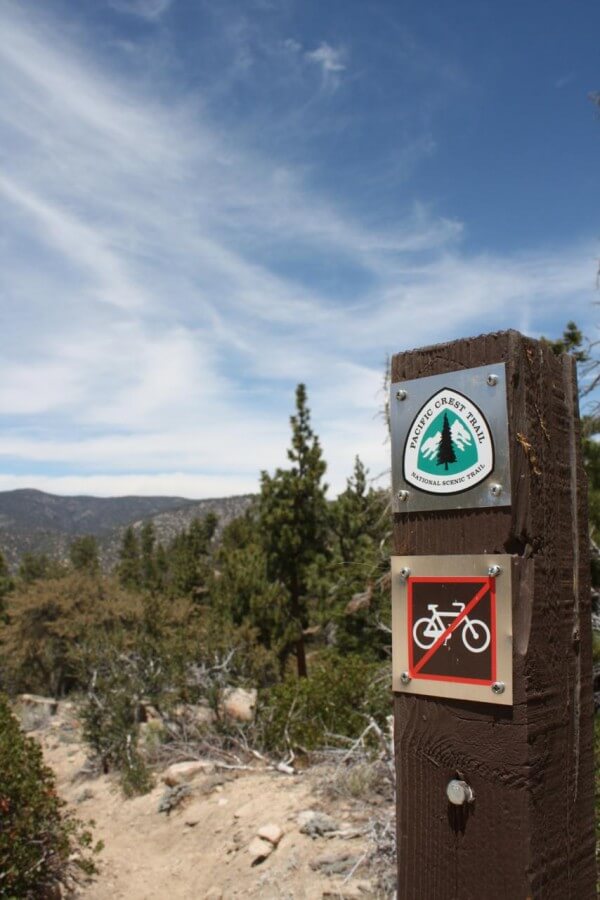
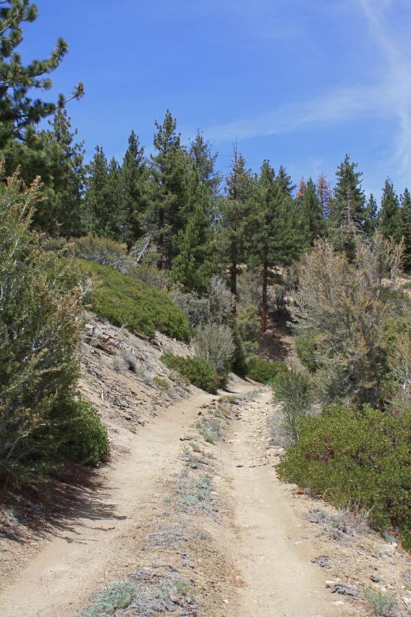
Start from the junction of 1N05 and 1N02 and head up 1N05, on the way to Fish Creek. In the second mile you will pass the trailhead for the Aspen Grove trail and then an unmarked dirt road on the right—stay left both times to stay on 1N05. After about 3.5 miles of uphill, the road begins traversing east for a little over 2 miles until at the bottom of a short sandy downhill section, just past the PCT crossing, 1N37 begins on the left. 1N37 begins with a short uphill section that evens out with a beautiful view of the desert. From there, the rest of the ride continues on rocky 4×4 road ranging between moderate and technical downhill riding (for bikers). Less than a mile onto 1N37 the PCT crosses again and 1N37 is marked as the Santa Ana River Trail (2E02)—continue straight onto 2E02. The trail intersects with 1N05 at the bottom; turn right onto 1N05 and you are just about back at the parking lot!
Possible Loops / Variations:
Feeling strong? Keep traveling down 1N05 past 1N37 to see some more beautiful scenery before turning back around. This is one of the major trailheads to climb Mt. San Gorgonio.
Trailhead and Parking:
Parking for this loop is in the Heart Bar campground area off of Highway 38 between Angelus Oaks and Big Bear, marked by a large brown sign on the western side of 38. Once you turn onto the road, you pass Heart Bar campground and several equestrian camps and park where the road diverges into 1N05 and 1N02. This fork is a great place to park and start the trip.

Grout Bay Loop
Trail Name:
Grout Bay Loop
Forest Service Designation:
1W05, 1W06, 3N14, Rim of the World Drive, Highway 38
Total Distance:
12 miles
Overview:
Dirt road climb to rolling downhill singletrack. Out and back up to Gray’s Peak and then downhill back to the beginning.
Difficulty:
Easy to moderate.
Activities:
Hiking, Biking
Trail Type:
Singletrack, dirt road, paved road.
Description:
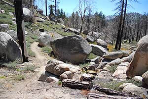
Head up paved road Rim of the World Drive. It will turn to dirt and mellow out a bit, then continue gaining elevation. You’ll pass YMCA Camp Whittle near the top, finally reaching Hanna Flats Campground. Make a left, and then head through the loops until you reach campsite #51. Follow the singletrack as it climbs out of the campground; this is now the Hanna Flats Trail. Stay on this trail as it crosses over several dirt roads, eventually reaching a sign for Gray’s Peak Trail. Choose this route for an out and back addition to the loop, or just head downhill, following the road/trail until it comes out at Gray’s Peak Campground. Make a left on Highway 38 to return to your starting point. Most noticeable on this ride is the scorched and recovering landscape; previously Ponderosa Pines, Oaks, and Manzanita, the Butler 2 Fire from 2007 completely transformed this area.
Trailhead and Parking:
Park in Fawnskin in the large paved triangle in front of the Fire Station. You can also park at Gray’s Peak Trailhead on Highway 38
Heart Bar Peak
Trail Name:
Heart Bar Peak
Forest Service Designation:
1N38
Total Distance:
3.2 miles one way
Overview:
Steep climb up a trail to a peak with views of San Gorgonio and Sugarloaf Peak.
Difficulty:
Moderate.
Activities:
Hiking, biking, horseback riding.
Trail Type:
4×4 trail.
Description:
Hidden off the side of Highway 38 is a short and steep trail that takes you to a peak with new views of San Gorgonio and Sugarloaf Peak. Start at the bottom and head on up, going past a couple of rough sections and switchbacks. The elevation comes quickly and shortly the highway is far beneath you. About 2 miles in you come across a sharp left-hand turn and a fantastic view of San Gorgonio in the distance; this is where it gets confusing.
All maps and guides show that the trail continues to the right here, up along a tree-covered ridgeline to the top of Heart Bar Peak. There is an old road here, and you can pick out the remnants of it as you pick through the fallen trees and ironwood to scramble to the top of the official Heart Bar Peak, 1N38 trail. However, the obvious and main 4×4 trail, that does not exist on any map or guide, goes to the left here and up another extremely steep and loose 1 mile to the top of unnamed peak 8868. Be careful here, as you may find yourself at the top of a mountain looking back down upon Heart Bar Peak without realizing it.
Possible Loops / Variations:
Consider going both to the top of Heart Bar Peak as well as unnamed 8868. They are both worth the effort and time.
Trailhead and Parking:
1N38 is signed on the south side of Highway 38 at mile marker 35.12. Pull down the dirt road a bit until you find a good spot to park.

Ridge and Rattlesnake Canyon
Trail Name:
Heartbreak Ridge and Rattlesnake Canyon
Forest Service Designation:
2N61Y, 2N02, 2N70Y, 2N01
Total Distance:
6.9 miles
Overview:
Seldom visited 4×4 roads through the desert east of Big Bear.
Difficulty:
Moderate to Difficult.
Activities:
Hiking, Horses, and Bikes.
Trail Type:
Dirt road.
Description:
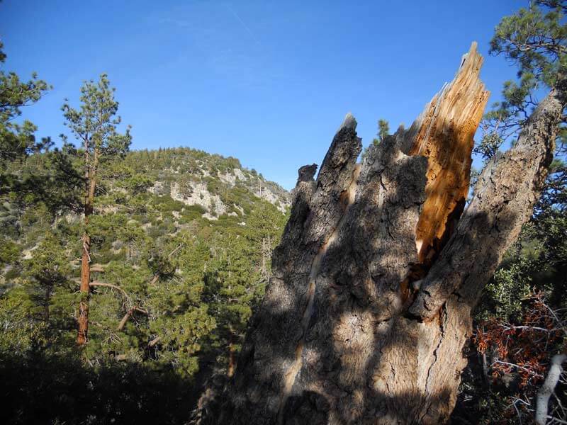
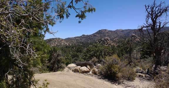
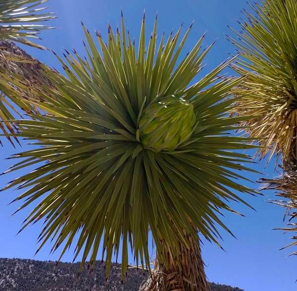
Start on the rocky and steep Heartbreak Ridge 4×4 Trail, 2N61Y, where you may see jeeps navigating the course. This takes you through several washes and ridges filled with Joshua trees, granite boulders, and great views. Pass the “Pontiac Sluice” spur on your right at about 2 miles and explore as you like. Hit 2N02, the main road to Pioneertown and Yucca Valley, at 3.5 miles and head left, back up the steep hill. At 4 miles head left down the signed Rattlesnake Canyon short bypass and parallel 2N02, through the wash and boulders, until you come back out on 2N02 at mile 5.25. Continue up the steep dirt road until it flattens out and opens up into Lone Valley. Turn left on 2N01 at mile 6.5 and make it back to your starting point.
Possible Loops / Variations:
On a bike, you can make it an all-day affair and ride through Baldwin Lake and 2N02, hit Heartbreak Ridge and Rattlesnake Canyon, and then come out near Onyx Summit on 2N01. This loop will put you at upwards of 40 miles, so be ready.
Trailhead and Parking:
Follow the above map and drive out on dirt roads to the start of the route. These access roads are passable by high clearance vehicles. Park in a sensible location off the dirt road.
Holcomb Valley Tour
Trail Name:
Holcomb Valley Tour
Forest Service Designation:
Multiple roads and trails.
Total Distance:
20-mile loop.
Overview:
Long dirt road loop with views of Big Bear Lake and Holcomb Valley.
Difficulty:
On a bike, the technical difficulty is moderate. Several hill climbs and the length make this close to advanced.
Activities:
Biking
Trail Type:
100% Forest Service dirt road.
Description:
This long loop takes you through the back roads of Big Bear in a first hand fashion. Start at Polique Canyon and head up 2N09. Make a left onto 2N71, and keep your eye out for the fantastic views of Big Bear Lake and San Gorgonio. You’ll soon find yourself over near YMCA Camp Whittle; make a right onto 3N12 and continue up the steep road to the top, where it crosses over the PCT. Head on down, make a right onto 3N16, and find yourself riding next to the old Hitchcock Ranch and a beautiful meadow. Stay on 3N16 as it turns left right before a long straightaway and continue into the heart of Holcomb Valley. Pass campsites on the left and Van Dusen Canyon on the right and continue along 3N16 until you reach an obvious log cabin interpretive site on the left-hand side. Stop for a few minutes and then return the 1/2 mile to Van Dusen Canyon and 3N09. Make a left and ride the bumpy but popular (watch for traffic!) road until it drops you back onto Highway 38. Hang a right and ride with the cars back to your starting point.
Possible Loops / Variations:
You can easily break this up into smaller pieces and loops.
Trailhead and Parking:
Park at the mouth of Polique Canyon, or any of the main trailheads along the north shore area.


John Bull
Trail Name:
John Bull
Forest Service Designation:
3N10, 3N43, 3N07, 3N32, 3N02, 3N16
Total Distance:
11.2-mile loop
Overview:
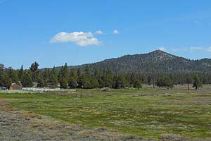
rough dirt road loop with views of local rock climbing area and desert to the north.
Difficulty:
On a bike, this is a difficult trail; it is technical and demanding. If you hike this, the trail itself is moderate with the length being the determining difficulty factor.
Activities:
Biking, hiking.
Trail Type:
4×4 trail, Forest Service dirt roads.
Description:
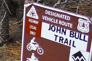
This is one of the most challenging 4×4 roads in the San Bernardino Mountains, and brings with it a great challenge for mountain bikers and a first-hand look at rough trails for hikers. Our suggested loop starts at the corner of Forest Roads 3N16 and 3N32. Head up 3N32 until you reach the turnoff for the Holcomb Valley Pinnacles, a great local rock climbing area. Turn left here (3N07A) and head south past the Pinnacles climbing area and through tight boulders. You’ll end up on the popular and sandy 3N07; follow this northwest onto 3N43 and then finally meet up officially with 3N10, John Bull. The rocky and boulder heavy trail awaits; if you can clear all of this on a bike you are doing quite, quite well. Pass several far-reaching views of the desert north of Big Bear and then head down more boulders until you level out and cross over 3N32. Keep going straight and the John Bull Trail continues, with steep uphills and jarring downhills. Hit 3N02 and follow it back down to the main thoroughfare of 3N16. Follow this west and back to your starting point.
Possible Loops / Variations:
You can break this off into two smaller loops and do them one at a time.
Trailhead and Parking:
Park off the road at the corner of 3N16 and 3N32. Be discreet, find a good spot, and pull completely off the road without hurting the forest.
Little Bear Peak
Trail Name:
Little Bear Peak
Forest Service Designation:
2N84, 2N84A
Total Distance:
Overview:
Short and steep trail up to an open, rocky point with views of both Big Bear Lake and Lake Arrowhead.
Difficulty:
Moderate.
Activities:
Hiking, Horses, and Bikes
Trail Type:
Dirt Road.
Description:
Start at the rough dirt road 2N84, off the left side of the main road 3N12. Continue up the road for 1/4 mile, and then turn left on 2N84A. Follow this road until you reach a road closed sign (before the Butler Fire, this used to be a 4×4 road that jeeps would drive up quite often). Continue past the sign and follow the steep road. There are quite a few fallen trees covering the trail. At .9 miles you will reach a ridgeline; head left (south) for the prominent peak. Clamber up the last bit to the top of Little Bear Peak at 1.1 miles.
Possible Loops / Variations:
Many. On a bike, you can add this peak into your ride on Hanna Flats and Gray’s Peak. If you’re hiking part of the Pacific Crest Trail, you can hop off and do this variation. You can also hike the nearby Delamar Peak and then head back to Little Bear Peak. Be mindful of faster vehicular traffic on 3N14 and 3N12.
Trailhead and Parking:
Good parking off 3N12 at the beginning of 2N84.
Lost Creek Trail
Trail Name:
Lost Creek
Forest Service Designation:
1E09
Total Distance:
5.75 miles one way
Overview:
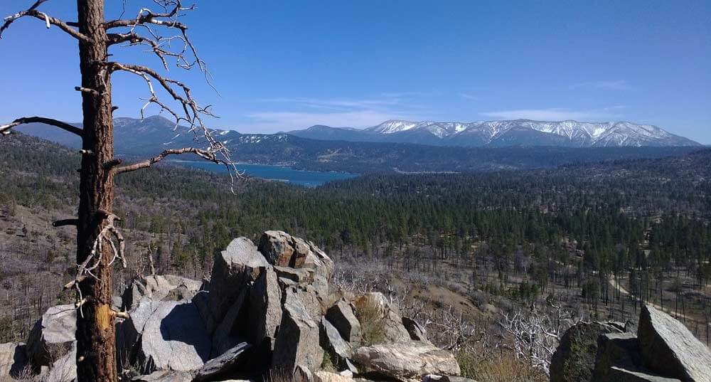
rarely used trail that takes you up into the San Gorgonio Wilderness Area.
Difficulty:
Moderate.
Activities:
Hiking and Horses. Bikes are not permitted in Wilderness Areas.
Trail Type:
100% singletrack.
Description:
The Lost Creek Trail starts right at Highway 38 and heads straight uphill for almost 2,000 feet. Along this seldom-used trail, you will have tremendous views of Sugarloaf Mountain and Heart Bar Peak. Towards the top, you’ll walk through Grinnell Ridge Camp and then drop into the wonderful South Fork Meadows area. Take a break and head back down. This is a wilderness area, and you will need a free permit.
Possible Loops / Variations:
Once at the top, consider hiking down the South Fork Trail and end up near Jenks Lake. If you do this, make sure you have a ride back to your original trailhead.
Trailhead and Parking:
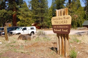
Park in the large lot directly across the highway from the South Fork Campground. Cross over to the South Fork Campground and look for the trail on the right-hand side heading up the hillside.
Maple Hill Trails
Welcome to the Maple Hill Trails! We hope you enjoy your day of fun and exploration. This 213 acre parcel of land was donated by RCK Properties in 2018 to the non-profit Bear Valley USD Education Foundation. The trail system was designed and built through a partnership with Big Bear Trails, part of the Southern California Mountains Foundation.
Be sure to enjoy these pathways with consideration for everyone and adjust your speed and intensity when you encounter others. Please be nice and say hi.
This trail system is on private property and the use of this property and trail system is dependent upon all of us acting as good and responsible stewards.
You can access them from these three trailheads: Shore Drive, off of Big Bear Blvd, North of Big Bear High School or West of Baldwin Lane Elementary School.
Considerations
Please share the trails! There are as many ways to enjoy them as there are to respect them. Follow these guidelines to keep it fun for everyone:
- Stay on the signed trails. Do not take shortcuts or adjust the trail.
- Don’t leave trash, and if you see trash please pick it up.
- Share the Trail – Be Nice and Say Hi.
- Mountain bikers yield to hikers and horses. Hikers yield to horses. Horses always have the right of way. Other users must step down on the low side of the trail and say hi. This helps the horse recognize you as a person.
- Mountain bikers, please use a bike bell.
- No motorized vehicles.
- Respect wildlife.
- Dogs must be nice, kept on a leash and/or strictly controlled by command. All pet waste must be removed.
- No overnight camping.
- No campfires, cooking or open flames.
Snow Play
You can use this property for snow play in the winter, given that you do not leave any trash and follow the above considerations.
If there is any visible trash the area is subject to immediate closure and you will be considered a trespasser and asked to leave.
This encourages you to actively pick up trash, whether it is yours or someone else’s.
Please Don’t Litter Our Mountains!
Once you have been out please take our Maple Hill Trails Survey and let us know what you think of our new trail!
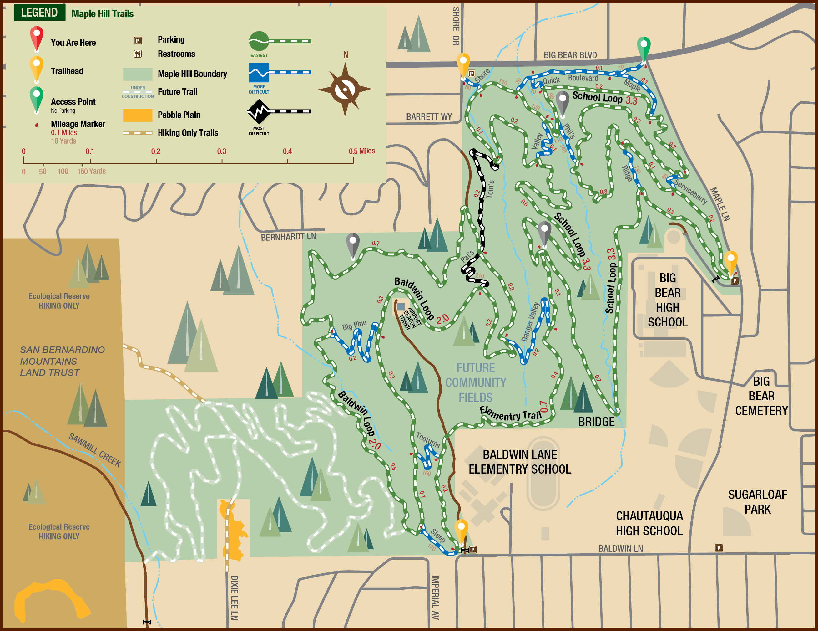
School Loop 3.3 miles
Baldwin Loop 2.0 miles
Elementary Trail 0.7 miles
Pebble Plains Loop (coming this Fall)
PCT Cushenbury to Holcomb Creek
Trail Name:
Pacific Crest Trail
Forest Service Designation:
PCT 2000
Total Distance:
19.6 miles
Overview:
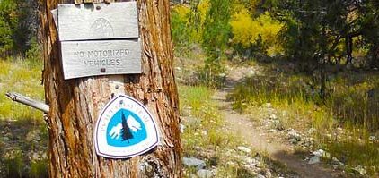
The Pacific Crest Trail is a national scenic trail from Mexico and Canada, over 2,650 miles of trail with approximately 40 miles running through the Big Bear Valley. The trail goes from the north desert entrance of Big Bear out along the north ridge of Bertha Peak and around Delamar Mountain, allowing great views of Big Bear Lake. The trail ends up winding through the forest north of Fawnskin, where you can see the results of the Butler 2 fire from 2007. The trails offer some alternative entrance points to break down miles to a shorter day hike. Alternatively, connections to the PCT include VanDusen, Polique or Fawnskin via 3N14 to 3N12.
Difficulty:
Medium.
Activities:
Hiking, Horses. No bikes on the PCT, please.
Trail Type:
100% hiking trail. No bicycles allowed.
Description:
Open to hikers and equestrians only. No bicycles permitted.
Possible Loops / Variations:
You can do it all in a day if you have a shuttle, or break it up into several smaller portions. Consider incorporating Gold Mountain, Bertha Peak, or Little Bear Peak into your section hikes.
Trailhead and Parking:
Multiple. See map.

PCT Onyx to Cushenberry
Trail Name:
Pacific Crest Trail Onyx to Cushenberry
Total Distance:
13.2 miles one way
Overview:
Long and diverse hike along the beautiful Pacific Crest Trail.
Difficulty:
The trail itself is easy to moderate; doing the entire section in a day is difficult.
Activities:
Hiking, horseback riding. Remember; no bikes on PCT.
Trail Type:
100% singletrack.
Description:
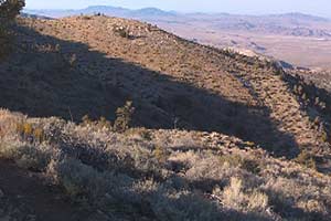
A long and gorgeous stroll down the Pacific Crest Trail that showcases the diversity of Big Bear. Starting at the top of Onyx Summit with views of San Gorgonio, the trail rapidly drops into a riparian valley and follows the beginnings of Arrastre Creek. The next change of scenery comes as you cross the creek one last time and traverse a rocky section opening up onto views of the Big Horn Wilderness Area. Follow this down past the community of Erwin Lake and drop into Baldwin Lake. Admire the Joshua Trees and then stare at the expansive views overlooking Lucerne Valley and beyond. Finish with a short climb up to Cushenberry Summit and Highway 18.
Possible Loops / Variations:
You can piece this together in smaller sections and invent multiple loops. If you do it on a very long day (or overnight backpack) make certain you have plenty of water and a ride back up to Onyx Summit.
Trailhead and Parking:
Plenty of parking at both Onyx and Cushenberry Summits.
Pine Knot Trail
Trail Name:
Pine Knot
Forest Service Designation:
1E01
Total Distance:
3.1 miles one way
Overview:
a popular and well-maintained trail that ends at a great overlook.
Difficulty:
easy to moderate.
Activities:
Hiking, biking, and horseback riding.
Trail Type:
100% singletrack.
Description:
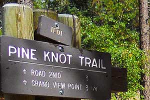
A classic Big Bear trail, Pine Knot takes you from the Aspen Glen picnic area up into the forest.
Note:
Adventure Pass required at Aspen Glen. Along the way are great views of Big Bear Lake, a walk along a creek and through a meadow, and it ends at Grandview Point, overlooking San Gorgonio and the Santa Ana River Valley. From here head back down to your original trailhead.
Possible Loops / Variations:
If you’re on a bike, head west along 2N10 until you reach Trick or Treat or Plantation Trail.
Trailhead and Parking:
Park at Aspen Glen Picnic Area. Note – the bottom portion of Pine Knot was rerouted in the summer of 2013. Older maps may still display the original bottom section.
Santa Ana River Trail – 16 Mile Version
Name:
Santa Ana River Trail (SART)
Forest Service Designation:
2E03
Distance:
16 miles one way
Overview:
Scenic Trail cutting along the sides of steep ridges in the Santa Ana River Valley
Difficulty:
Intermediate
Activities:
Hiking, Horses, and Biking
Trail Type:
98% Single Track
Description:
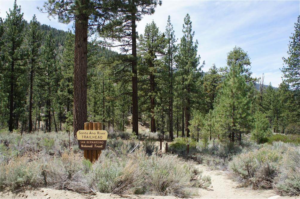
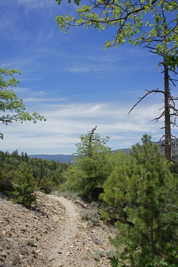
An EPIC trail with tons of variations. The Santa Ana River Trail will bring you to large meadows, steep cliff edges, peaceful creeks, and breathtaking vistas through the Santa Ana River Valley. It begins by Heart Bar Campground with a sandy rocky single track that is crisscrossed with many other trails and then travels through an arid forest and along and above a beautiful meadow to your right. Crossing over Highway 38 at the South Fork area the trail continues, becoming distinctly different with a smooth compact single track that twists, turns, rises, and falls on exposed cliff edges in a lush environment. Descending, the trail intersects with Glass Road and continues its descent on less exposed single track that crosses several creeks and small meadows. The single track continues down to Angelus Oaks crossing several dirt roads. Going left and up Middle Control Road will bring you to an end at Highway 38 to shuttle, or you may turn back around for the ride back. However, the Santa Ana River Trail continues as single-track to Mentone where the rest of the trail continues in a wider format to the Pacific Ocean, making it Southern California’s longest trail.
Possible Loops and Variations:
Park at South Fork Recreational areas on Hwy 38 ride Santa Ana River trail down to make a right on Glass Road and another right on River Road to climb up back to South Fork recreational areas. Park at Glass Road ride up or down SART and back, using River Road as you please to make a possibly preferred dirt road climb. Park at Middle Control Road turnout on Highway 38 and either go down Middle Control Road to make a right at the SART trailhead to ride and return as pleased. Shuttle any option as you see fit. For extended epic rides, intersect SART with some of the following trails, Wild Horse Trail, Seven Oaks Trail, Radford Road, and Clarks Grade.
Trail Heads and Parking:
Heart Bar Campground/Coon Creek Fish Creek – South Fork Recreational areas on Hwy 38 – Glass Road at SART Crossing – Middle Control Road Turnout on Highway 38 (.3 miles past Angelus Oaks Post office.)
Seven Oaks
Trail Name:
Seven Oaks
Forest Service Designation:
0E01
Total Distance:
2 miles
Overview:
Steep trail from the Skyline Ridge down into the Santa Ana River Valley.
Difficulty:
Advanced.
Activities:
Hiking, Horses, and Bikes
Trail Type:
100% Singletrack
Description:
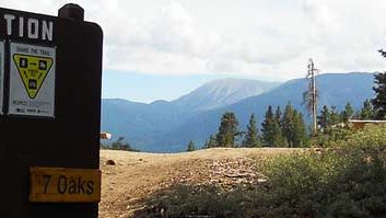
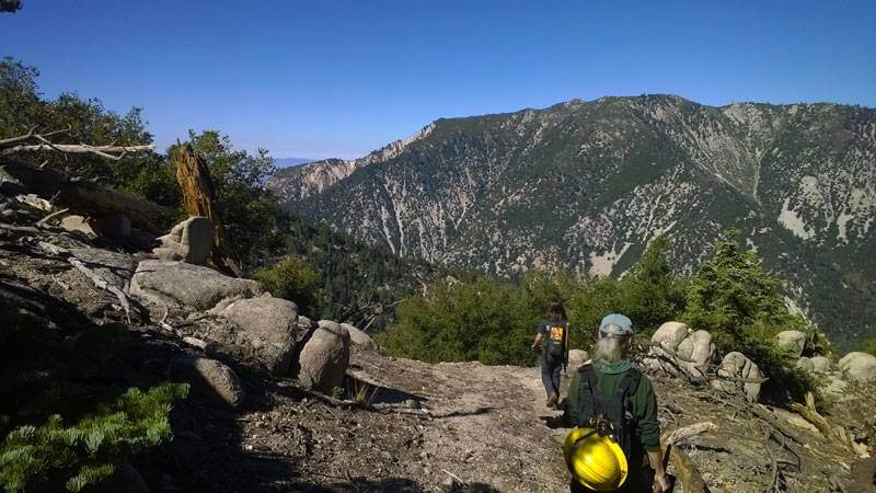
Begin at the benches where Skyline Trail, Pine Knot Trail, Grandview Point Trail, and Seven Oaks Trail all come to a 4-way crossing zone. Head south, down the beautiful opening valley of Seven Oaks, through a couple of switchbacks and past rocky outcroppings. Drop into the namesake oaks, and follow the trail down through the tough decomposed granite bench cuts. The finish will bring you onto Radford Truck Trail, 2N06.
Possible Loops / Variations:
Make it an out and back from either the top or the bottom. Consider adding it on to your hike up Pine Knot Trail. You can also take a bike down Seven Oaks, back up Radford, along Skyline Trail, and back to your starting point. This is a good test piece for mountain bikers, as the descent is fast and hard and the climb up Radford is a grind fest.
Trailhead and Parking:
Good parking at either end of the marked Seven Oaks trailhead.

Siberia Creek
Trail Name:
Siberia Creek
Forest Service Designation:
1W04
Total Distance:
6.1 miles one way
Overview:
a rugged and scenic trail that drops down into the Bear Creek drainage and ends at Siberia Creek Group Camp.
Difficulty:
This is a steep and wild trail that has been neglected and ignored for many years. It is in the process of being brought back up to trail standards.
Activities:
Hiking, biking.
Trail Type:
100% singletrack.
Description:
Siberia Creek is a committing and challenging trail. Start at the Champion Lodgepole Pine trailhead and follow Siberia Creek down a valley, finally opening up onto a steep ridgeside with views of Keller Peak and the Inland Empire. The Gunsight (two large rocks) is reached after about a mile, with spectacular views all around. From here the trail gets tough and steep, and your adventure begins. The next 5 miles are complete with overgrowth and landslides, but the reward is the quiet and peaceful Siberia Creek Group Camp, where you can rest and recoup. When ready, hike back up to the beginning of the trail.
Possible Loops / Variations:
Consider hiking up Camp Creek Trail to Highway 18 and Snow Valley, or continue down Camp Creek Trail to the Santa Ana River Valley. Either way you will need to arrange transportation back to the original trailhead.
Trailhead and Parking:
Park at the Bluff Mesa or Champion Lodgepole Pine Trailhead.
Skyline Trail
Trail Name:
Skyline
Forest Service Designation:
Total Distance:
Overview:
Difficulty:
Moderate.
Activities:
Trail Type:
100% singletrack.
Description:
Possible Loops / Variations:
Trailhead and Parking:
Skyline FAQ:
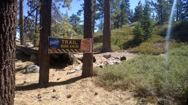
How long is Skyline? A little over 15 miles; we’ve GPS’d the route and walked a handwheel over the entire thing, and the GPS actually shortens the real route by almost a mile because of all the twists and turns.
Is Skyline finished? As of 9/27/2014, the trail is complete and 100% usable. However, there are still sections that require some fine-tuning and maintenance.
How was Skyline built? Upper and Western Skyline was rough cut by machines with finishing by volunteer hand crews. The 2 1/2 miles of Eastern Skyline was built by a paid hand crew with finishing by volunteers.
What is a machine rough cut? The builder of upper Skyline, Bellfree, was contracted to provide only this initial rough cut of the trail construction. When the excavators from Bellfree first finish a section, it is rough, loose, and difficult to traverse. The machines have gone over the trail twice, and a motorcycle with a weighted trailer has established an initial travel line. As people start to ride and hike upon it, the trail begins to pack down and we can see the formation of narrower lines within the 4-5 foot machine path. Once the lines have been a little established, we’ve got the opportunity to come back through each section with hand crews and finish the trail.
Hand crews transform the trail from “ridable” into “fun”. Until hand crews come through each section; narrowing the trail, adjusting corners and turns, reinforcing water drains, and in general cleaning it up; the trail will not be finished. So, while it’s possible to ride or hike the opened sections of the Skyline Trail right now, it’s far from complete and you should adjust your expectations accordingly.
How does moisture and use help the trail? Another area of trail building to consider is the necessity of moisture for proper trail compaction. While we’re getting more compaction on each segment of the Skyline Trail, it’s easy to tell a difference between the recently completed sections and the older sections. The first sections had all winter to sit under a light bed of snow, and our spring travels upon it helped to compact the trail. Our newer sections desperately need water and use to firmly solidify into a trail.
Compounding this moisture and compaction dilemma is the slippery and unstable decomposed granite that we’ve unearthed in several recent trail sections. Until we get this moisture, the new sections of trail will be loose and often difficult to ride.
What were the design limitations? Unlike a lot of other trails, we have had some very specific limitations as we build the Skyline Trail. We’re building within a firebreak that ranges from 20-300 feet wide. Years ago, after the Old Fire, the Forest Service came through and cleared this area of land south of 2N10 as a means to halt any future fire progress. By staying within this firebreak, the Skyline Trail was able to bypass quite a few environmental considerations that new trails normally must overcome. On one side of this firebreak is the road 2N10, and on the other side is virgin forest, untouched by the large masticating machines that created the firebreak.
What this means for us is that we’ve got a narrow ribbon of land in which to design a trail. If we go too far in one direction, we dip into the virgin forest and must be able to resolutely defend this action with the Forest Service as absolutely necessary. If we go too far in the other direction, we are right next to the road 2N10, which significantly detracts from the wilderness and secluded feeling that trails are designed to provide.
As such, much of the path of Skyline was chosen before we started. We can’t contour along the land as much as we would like in many places and instead are forced to travel up and down the many short, tough hills of the ridgeline. The “glass half empty” part about this is that there are often turns and switchbacks that can potentially disturb the flow of a mountain biking trail. The “glass half full” tells us that the views from the top of the ridgeline (it is called Skyline…) are incredible and that because of this firebreak and environmental exclusions, we’re actually building this trail instead of waiting for the years of paperwork that a project like this traditionally requires. For hikers, another added bonus is that we’ve found that this up and down landscape slows down the overall speed of a mountain bike, which greatly reduces the likelihood of user conflict. Skyline is not a fire road climb and singletrack descent; it’s a cross country ride on a high mountain ridge with few sustained up or downhill grades.
We’ve also worked hard to keep the overall grade of the trail at a low, 7-8% grade. This low grade will help in overall erosion control and aid in making most of the trail usable for riders of all fitness levels. Skyline is designed to be ridden in both directions, so that twisty turn that seems unnecessary on the downhill may be your saving grace on the return trip as it becomes an uphill climb. Of course, right now even slight grades are difficult when the terrain is loose, uncompacted, and full of decomposed granite. Time, moisture, compaction, and handwork will address these issues and make the entire trail both ridable and fun.
Who designed the trail? Once inside the firebreak, the design of the Skyline Trail has had quite a few different contributors. Siri Eggebraten and Randall Putz were the initial driving force behind making things happen behind the scenes and getting IMBA on board. IMBA went through and flagged trees, indicating a general route for the trail. Once this was done, several members of the Trails Foundation board of directors (and friends) walked the line and placed flags along a proposed route.
As we started to firm things up, three different people worked the trail. Our goal has been to design a fun, multi-use trail, with a lot of variety and a little something for everyone, that takes full advantage of the terrain and views of the Skyline Ridge. Driz Cook (Trails Foundation volunteer/board member/mountain biker) walked and scouted the firebreak extensively, and using the initial proposed route as a base, reworked the trail line with a solid string of pin flags. Jeanette Granger, our US Forest Service liaison, walked the line next and adjusted the trail route based upon her 23 years of experience building trails with the Forest Service. The final step of upper Skyline involved Hans Kiefer, trail builder, and owner of Bellfree Contractors, reviewing the line and making adjustments based upon his experience. Western Skyline was built inhouse with both machine and volunteer labor from the Trails Foundation.
Eastern Skyline was the brainchild of USFS employee Dave Kotlarski, who designed the 2 1/2 mile section and oversaw the hand crews. Gavin Burke (Southern California Mountains Foundation) and Jeanette Granger (USFS) aided greatly in this section.
While there is always room for the reinterpretation of the landscape after the trail has been cut, a large amount of time was spent, by individuals with a wide variety of experience, in the design of the Skyline Trail.
South Fork Trail
Trail Name:
Poopout Hill via Jenks Lake/South Fork
Forest Service Designation:
1E04
Total Distance:
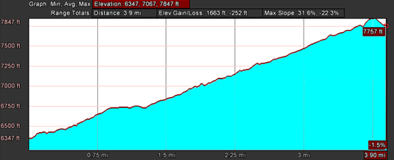
3.8 miles one way
Overview:
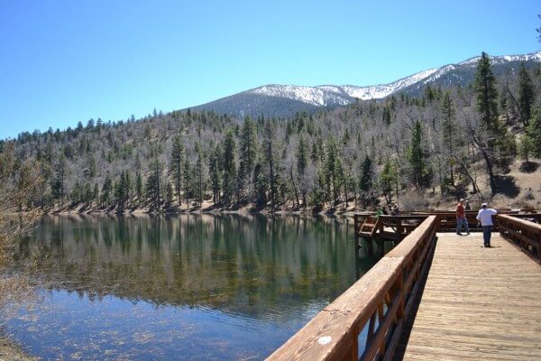
a scenic trail that takes you past Jenks Lake to the edge of the San Gorgonio Wilderness Area
Difficulty:
Moderate
Activities: Hiking and Horses. Bikes and motorized vehicles not permitted on South Fork Trail.
Trail Type:
Graded road for the first half, then alternating between graded dirt road and single track.
Description:
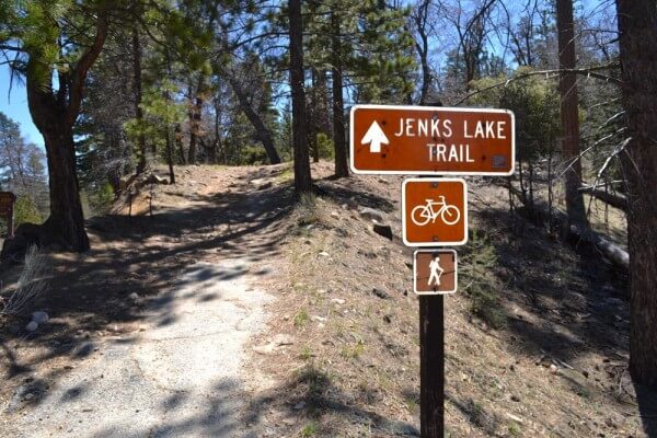
The Jenks Lake Trail starts right at Highway 38 and travels uphill through several switchbacks at an easy grade to Jenks Lake. Walk around the northern edge of the lake until you come to the bathrooms at the eastern end of the lake. The trail continues eastward on a road leading away from the lake parallel to an irrigation ditch. The trail diverges from the road to the left just before a gate and cuts through a clearing before running parallel to W. Jenks Lake Road up to the South Fork Trail parking lot. Cross W. Jenks Lake Road at the marked crosswalk near the restrooms. The trail continues up at a much steeper grade to Poopout Hill, offering many scenic vistas of Sugarloaf and San Gorgonio peaks. This final trail section passes by Horse Meadows and some old Forest Service cabins leftover from CCC trail development.
Possible Loops / Variations:
Park at Jenks Lake or the South Fork Trailhead and start there, skipping the first ¾ of a mile and gaining better parking for the more scenic parts of the trail. If you do this, make sure you have an Adventure Pass.
Trailhead and Parking:
Park in the Barton Flats visitor center off Highway 38 across the highway from Camp Arbolado. From the visitor center, hike back east until you hit the beginning of the trail.
Tip Top Mountain
Trail Name:
Tip Top Mountain
Forest Service Designation:
2N90
Total Distance:
1.7 miles one way
Overview:
Rocky and steep road up to one of the best views in Big Bear.
Difficulty:
If you hike this trail, it is moderate, with several sections of loose rock. On a mountain bike, this is a difficult climb that will push you both aerobically and technically.
Activities:
Hiking, biking.
Trail Type:
4×4 trail.
Description:
A seldom visited part of Big Bear, Tip Top Mountain is a true summit, with steep exposure on all sides and views from Joshua Tree National Park to Sugarloaf Peak. Start at the bottom of the trail and head up the rough and loose road, traversing back and forth past Joshua Trees until you hit a steep ridgeline. Continue on up the trail until you reach the old mine close to the top. Scramble up the last bit to the summit and revel in the 360-degree mind-blowing views. This spot is one of the true hidden treasures in this area. Once you’ve taken it all in, head on back down.
Possible Loops / Variations:
On a bike, you can make a day out of this by climbing up towards Onyx Summit on Highway 38 and heading east on Forest Road 2N01. Turn left on 3N03 and then head up Tip Top Mountain. Come out through Baldwin Lake, by taking 3N03 to 2N02 and on out to Baldwin Lake Road.
Trailhead and Parking:
the easiest way to get to Tip Top is to head up Highway 38 towards Onyx Summit and turn east onto Forest Road 2N01. Follow this road out to 3N03 and head left. You’ll see the steep road up to Tip Top on your right-hand side, along with several signs. Find a discreet spot to park at the bottom of the trail.
Woodland Trail
Trail Name:
Woodland Trail
Forest Service Designation:
1E23
Total Distance:
1.5 miles
Overview:
short interpretive trail very close to Big Bear Lake.
Difficulty:
Easy to Moderate.
Activities:
Hiking, Horses, and Bikes. Bikes please stay off during busy times.
Trail Type:
100% singletrack.
Description:
Possible Loops / Variations:
Trailhead and Parking:
Large signed parking lot on north side of North Shore Drive, 400 yards west of Stanfield Cutoff and North Shore Elementary School. You can see the trailhead from the Alpine Pedal Path.

